
Manipur
“Jewel of India with floating national park Loktak”
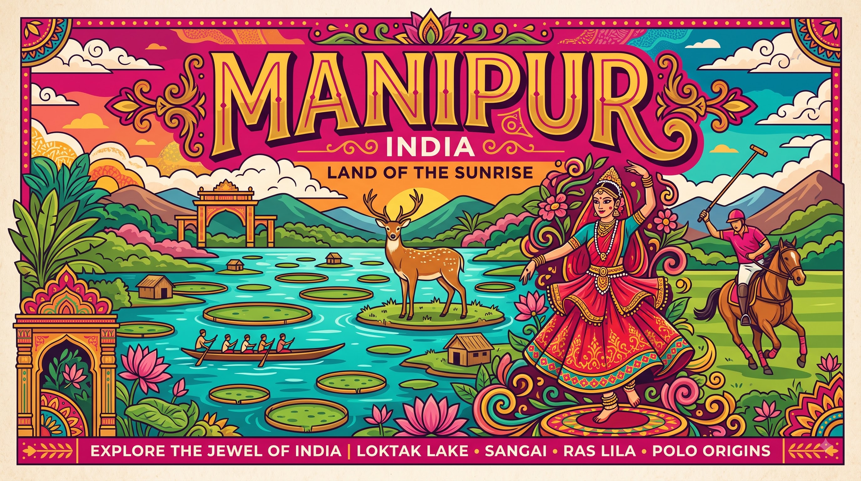
Overview & Heritage
Manipur • Northeast India
Manipur — often called the 'Jewel of India' by Jawaharlal Nehru — occupies 22,327 km² in the far northeast, tucked between Nagaland to the north, Assam to the west, Mizoram to the south, and Myanmar's Chin State and Sagaing Region to the east. If you remember one image, hold onto this: a perfect oval valley ringed by blue-green hills, with Loktak Lake glittering at its heart like a mirror scattered with emerald islands. About nine-tenths of the state's area is forested hills, while the fertile Imphal Valley — just 1,813 km² at about 790 metres elevation — holds most of the state's projected 3.2 million people (2025). Imphal, the capital on the banks of the Imphal River, is the cultural and commercial hub and home to Ima Keithel, believed to be Asia's largest all-women market. Border trade, handlooms, and agriculture sustain the economy, but it is Manipur's ecology and performing arts that make it unforgettable. Loktak, the largest freshwater lake in Northeast India, supports the world's only floating national park, while the classical Manipuri dance and the game of modern polo both trace their origins here.
“A cornerstone of Northeast India, Manipur embodies millennia of vibrant history, distinct geography, and legendary cultural traditions.”
History & Dynasties
Manipur's recorded history is unusually long for the Northeast. The royal chronicle Cheitharol Kumbaba traces the Ningthouja dynasty to 33 CE, with Kangla at Imphal as its sacred seat. For centuries the Meitei kingdom ruled the valley, while surrounding Naga and Kuki-Zo chiefdoms inhabited the hills, creating a valley-hill polity that still shapes Manipur today. Sanamahi and later Vaishnavite Hindu traditions under King Pamheiba (Garib Nawaz, early 18th century) defined court life. In 1762 the kingdom signed its first treaty with the British, but retained independence until the Anglo-Manipur War of 1891, when British forces defeated Manipur after the Battle of Khongjom. The young prince Churachand was installed as ruler under British administration, and from 1917 the hills were administered through subdivisions. After British India ended, Manipur became independent briefly and then merged with India on 15 October 1949 through the Manipur Merger Agreement. It was administered as a Part C state and then a Union Territory from 1956, granted a legislative assembly in 1963, and finally attained full statehood on 21 January 1972 under the North-Eastern Areas (Reorganisation) Act, 1971. Since then, issues of ethnic balance between Meitei, Naga and Kuki-Zo communities and aspirations for autonomy have remained central to its modern politics.
Nature & Geography
Manipur is a study in two landscapes. The central Imphal Valley is a former lake bed with rich alluvial soil, enclosed by rugged Naga and Manipur hills that rise to 2,994 metres at Mount Iso near Mao. The valley floor is gently sloping from north to south and drains through the Manipur River — also called Imphal River — southward toward the Chindwin-Irrawaddy system in Myanmar, unlike most Indian rivers that flow to the Bay of Bengal. Loktak Lake, averaging about 287 km² but swelling to over 500 km² in monsoon, dominates the southern valley. Its defining feature is phumdi — heterogeneous mats of vegetation, soil and organic matter at various stages of decomposition that float at various thicknesses, one-fifth above water and four-fifths below. Combined, all lakes in the basin cover roughly 600 km². On the southeastern edge of Loktak lies Keibul Lamjao National Park, notified as a wildlife sanctuary in 1966 and as a national park on 28 March 1977, covering 40 km². The lake was designated a Ramsar Wetland of International Importance in 1990, and the conservation area is on UNESCO's tentative list. Climate is temperate: summers peak around 32°C, winters can fall below zero with occasional snow in the hills, and rainfall averages about 1,468 mm but varies from 933 mm in Imphal to over 2,500 mm in Tamenglong. Beyond the valley, Sirohi National Park shelters the endemic Shirui lily (Lilium mackliniae), while Dzüko Valley on the Nagaland border offers alpine meadows.
Culture & Arts
Culture in Manipur is both classical and community-driven. Manipuri is one of India's eight officially recognised classical dance forms, famed for its graceful Ras Lila and Pung cholom. Ras Lila, added to the repertoire in the 18th century under Vaishnavism, enacts the love of Radha and Krishna with restrained, devotional movement, distinct from more vigorous classical styles. The martial traditions are equally important: Thang Ta (sword and spear), Mukna wrestling, and Sagol Kangjei, the precursor of modern polo. The word polo derives from the Meitei pulu, and 19th-century British observers in Manipur codified the modern rules after watching the fast-paced game on the Imphal polo ground, still one of the world's oldest. Handloom weaving is a second skin here — every Meitei woman traditionally knows how to weave, producing the Moirang phee textile and intricate Phanek and Innaphi. The ethical ideal of Tlawmngaihna in neighbouring Mizoram has a counterpart in Meitei ethics of service, but most visible to visitors is Ima Keithel (Mothers' Market) in Imphal, a 500-year-old market run entirely by women traders. Festivals reflect the valley-hill blend: Yaoshang (Holi) with the Thabal Chongba moonlight dance, Cheiraoba (Meitei New Year), Gang-Ngai and Kut among tribal communities, and the Sangai Festival in November celebrating the state animal. Meitei (Manipuri), written in both Meitei Mayek and Bengali scripts, is the official language and lingua franca, while Naga and Kuki-Zo languages, Hindi and English are widely used.
Fun Facts
Keibul Lamjao National Park on Loktak Lake is the world's only floating national park (40 km²), made entirely of phumdi biomass that is too deep to walk as marsh and too shallow to be a lake.
Modern polo originated in Manipur as Sagol Kangjei; the world's oldest living polo ground, Mapal Kangjeibung in Imphal, is still in use, and British officers learned the game there in the 19th century.
The Sangai or brow-antlered deer (Rucervus eldii eldii) is found only in Keibul Lamjao; declared extinct in 1951, it was rediscovered in 1953 by naturalist E.P. Gee, and from just 14 animals counted in 1975 it has recovered to over 200 today.
Ima Keithel (Mothers' Market) in central Imphal is run solely by women — over 3,000 traders by most counts — and has operated for about 500 years, handling textiles, produce and household wares.
Loktak Lake is the largest freshwater lake in Northeast India, designated a Ramsar site in 1990; about 14 hillocks such as Sendra, Ithing and Thanga rise within it as islands, and a Sendra viewpoint offers the classic aerial view of phumdis.
The endemic Shirui Lily (Lilium mackliniae), found only on the Shirui Hills of Ukhrul at about 2,730 metres, is the state flower of Manipur and cannot be grown elsewhere even when transplanted — a favourite biology exam example of endemism.