
Ladakh
“The land of high passes and stark high-altitude deserts”
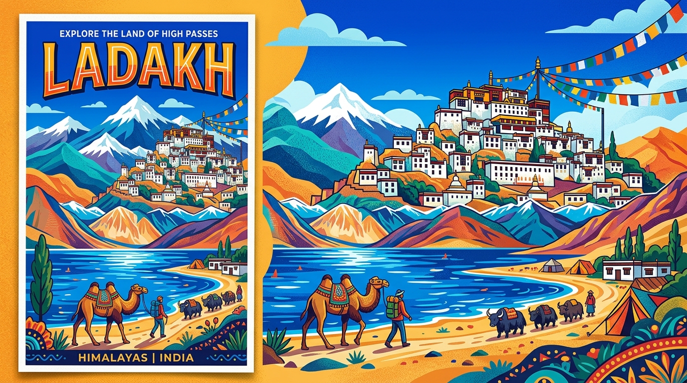
Overview & Heritage
Ladakh • Union Territory India
Ladakh — the “Land of High Passes” (La = pass, Dak = many) — spans 59,146 km² of cold desert behind the Great Himalayas, India's largest Union Territory by area yet its second least populous. If you remember one picture, remember turquoise Pangong Tso splitting between mountains, prayer flags over a plain at 3,500 metres, and a whitewashed monastery above barley fields. Bordered by Jammu and Kashmir, Himachal Pradesh, Pakistan's Gilgit-Baltistan across the Line of Control, and China's Xinjiang and Tibet, Ladakh had 274,289 people in the 2011 Census and about 304,000 projected for 2025 — rounded to about 300,000 in the frontmatter. Leh at about 3,500 metres is the administrative capital; Kargil is the second town and joint winter capital per recent notifications (flag: joint capital implementation is evolving). Created as a Union Territory on 31 October 2019 after bifurcation from Jammu and Kashmir, Ladakh is administered by a Lieutenant Governor and offers a case study in cold desert ecology and Indo-Tibetan culture.
“A cornerstone of Union Territory India, Ladakh embodies millennia of vibrant history, distinct geography, and legendary cultural traditions.”
History & Dynasties
Ladakh's history is that of a Himalayan kingdom astride the Silk Route. Petroglyphs along the Indus indicate millennia of settlement, but recorded history begins with the Tibetan Empire in the 7th–9th centuries. The first organized kingdom was founded by Nyimagon in the 10th century with capital at Shey, later moving to Leh, where the 17th-century Leh Palace still overlooks the town.
Its most expansionist ruler, Sengge Namgyal (1616–1642), called the Lion King, extended Ladakh from Gilgit to western Tibet and revived Buddhism through the Drukpa sect, building Hemis and Hanle monasteries. Later kings balanced between Tibet and the Mughals until Dogra general Zorawar Singh invaded from Jammu between 1834 and 1842. After his death, the Treaty of Chushul (1842) and Treaty of Amritsar (1846) confirmed Ladakh as part of Maharaja Gulab Singh's Jammu and Kashmir state.
Ladakh remained a district of that state through the 1947–48 defence of Leh, the 1962 Sino-Indian War around Aksai Chin — large eastern portions of which remain under Chinese control — and the 1999 Kargil War around Kargil-Dras-Batalik heights. Demands for autonomy led to Ladakh Autonomous Hill Development Councils for Leh (1995) and Kargil (2003). On 31 October 2019 Parliament's Reorganisation Act created the Union Territory of Ladakh with two districts, with in-principle approval in 2024 for five more.
Nature & Geography
Ladakh is the archetype of the Trans-Himalayan cold desert. Elevations range from about 2,550 metres in Kargil to 7,742 metres at Saser Kangri in the Karakoram, with the Indus Valley at 2,900–3,800 metres forming the inhabited spine. The Karakoram walls the north, the Ladakh Range frames the centre, and the Zanskar rises to the south, with the Changthang plateau at about 4,500 metres hosting high lakes. The Indus flows about 440 km through Ladakh from Tibet, joined by the Zanskar, Shyok and Nubra rivers. Climate is hyper-arid: Leh receives only about 50–100 mm annual precipitation, mostly as winter snow, with summer days to 25–30°C and winter minima to –20°C to –40°C at Hanle.
This harshness creates stark beauty. Pangong Tso at about 4,350 metres stretches about 134 km (about one-third in India, two-thirds in Tibet) and changes colour despite being brackish. Nearby, Tso Moriri at about 4,522 metres is India's largest high-altitude lake entirely within Indian territory, and Tso Kar is a saline wetland for migratory birds.
Wildlife concentrates in protected cold desert. Hemis National Park at about 4,400 km² east of Leh is India's largest national park, the only one north of the Great Himalayas, and the most reliable place to see wild snow leopards — about 200 in the park — with Tibetan wolf, brown bear, bharal and urial. Changthang and Karakoram sanctuaries extend range for kiang, black-necked crane and bar-headed geese.
Culture & Arts
Ladakh's identity is Tibetan-Buddhist in the east and Shia Muslim in the west — roughly equal overall. Leh district is predominantly Mahayana (Tibetan) Buddhist, Kargil and Drass predominantly Shia communities historically linked to Baltistan.
Monastic life anchors culture. Hemis Gompa, founded in the 1630s, is the largest; its Hemis Tsechu festival in June–July draws masked Cham dancers in brocade and masks to long horns and cymbals. Thiksey (modelled on Potala), Diskit in Nubra with a 32-metre Maitreya statue, Lamayuru (around the 10th century), and Alchi with 11th-century murals each host seasonal festivals. Thangka painting, silverwork, pashmina and yak-wool weaving remain living crafts.
Language reflects this crossroad: Ladakhi (Bhoti), a Tibetic language in Tibetan script, is the vernacular in Leh, with Purgi/Balti around Kargil and Shina in Dras, and Hindi and English in administration. Food is high-altitude sustenance: butter tea (gur gur chai) with yak butter, thukpa, momos, skyu and chang (barley beer) at celebrations. Losar, Ladakh Festival and Dosmoche mark the year.
Fun Facts
Umling La Pass in eastern Ladakh at 5,799 metres (19,024 feet) was certified by Guinness World Records in 2021 as the highest motorable road, built by the Border Roads Organisation under Project Himank connecting Chisumle and Demchok; as per 2025 reports, an even higher Mig La road at about 5,900 metres has been black-topped, pending Guinness update (flag: record status is transitioning).
Pangong Tso, at about 4,350 metres, is an endorheic brackish lake about 134 km long, of which roughly 45 km lies in India and the rest in Tibet; its water shifts from deep blue to green despite being saline enough to largely limit fish life.
Hemis National Park at about 4,400 km² is India's largest national park and the only one north of the Great Himalayas, with one of the world's highest densities of wild snow leopards and a fixation of wildlife tourism around winter sightings from November to March.
The Magnetic Hill on the Leh–Kargil highway near Leh creates a strong optical illusion where vehicles appear to roll uphill; local explanations invoked magnetism, but surveys confirm it is a gravity hill illusion created by the horizon and slope layout.
The Indian Astronomical Observatory at Hanle, at about 4,500 metres in Changthang, is one of the world's highest optical telescopes, operating the 2-metre Himalayan Chandra Telescope above the cloud inversion, ideal for infrared and optical astronomy.
Ladakh is called “Little Tibet” for its living Tibetan Buddhism, yet western Ladakh — especially Dras, the second coldest inhabited place in India after Siachen where winter minima to –40°C are recorded — is culturally Balti and linguistically distinct.