Lakshadweep
“Tropical coral archipelago in the Arabian Sea”
Overview & Heritage
Lakshadweep • Union Territory India
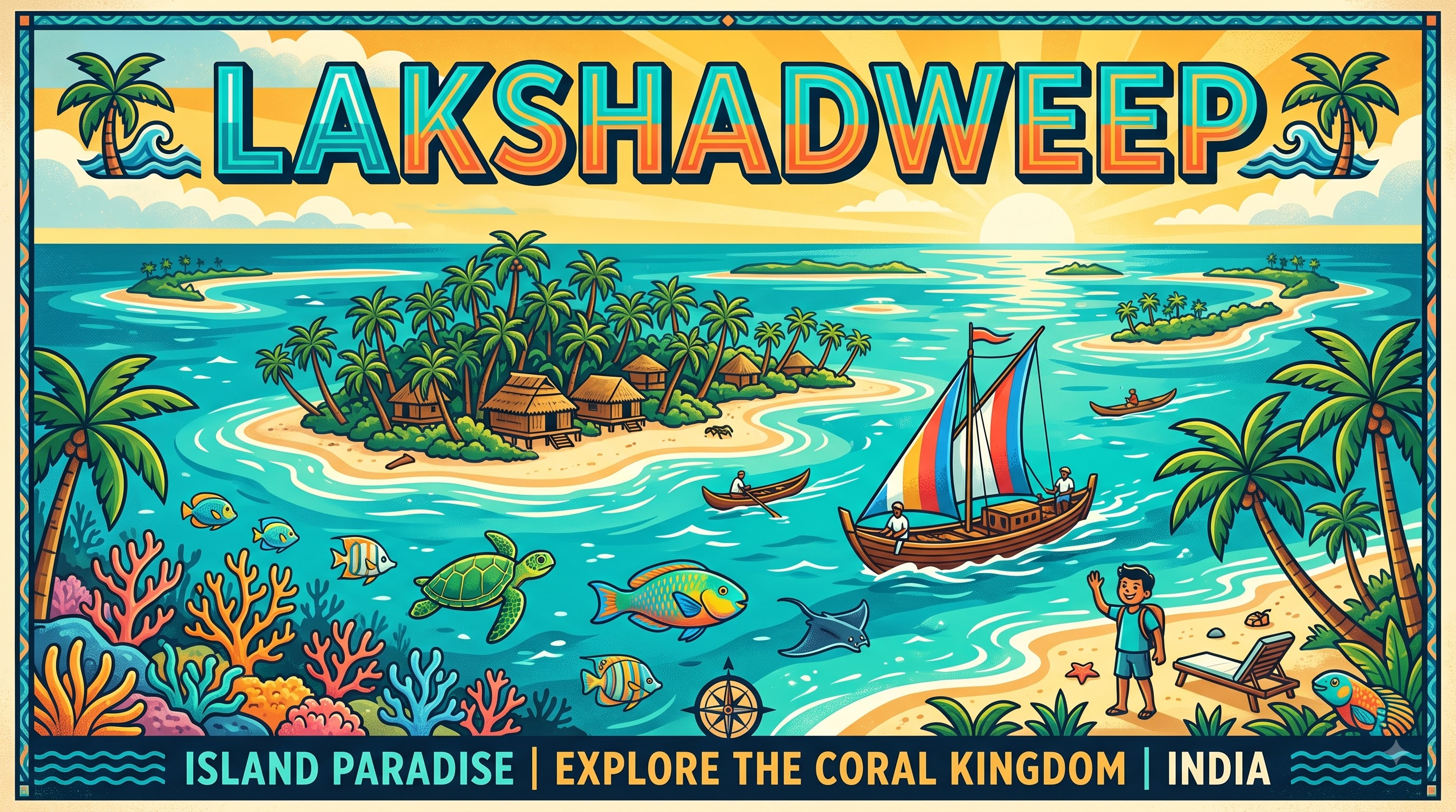
Lakshadweep — Malayalam and Sanskrit for “a hundred thousand islands” — is India's smallest Union Territory, 36 islands and islets scattered across about 78,000 km² of lagoon and sea but only about 32 km² of land. If you picture one scene, picture coral rings enclosing turquoise lagoons, palms leaning over white sand and water clear enough to see a shadow at 12 metres. Lying 220–440 km off the Kerala coast between 8°N and 12°N, it is a uni-district territory with Kavaratti as capital and administrative headquarters. With about 68,000 people projected for 2025 (64,473 in Census 2011) and just ten inhabited islands, it is India's least populous territory, governed directly by an Administrator appointed by the President. Comprising 12 atolls, three reefs and five submerged banks, it is India's only coral atoll formation, on the Chagos–Lakshadweep Ridge, and manages a 400,000 km² exclusive economic zone.
“A cornerstone of Union Territory India, Lakshadweep embodies millennia of vibrant history, distinct geography, and legendary cultural traditions.”
History & Dynasties
Archaeology shows Lakshadweep was visited for millennia, but permanent settlement came with mariners from the Malabar Coast. Tradition and linguistic evidence link early settlers to Kerala — the northern Amindivi islands and central Laccadive islands speaking Malayalam and its island dialect Jeseri (Dweep Bhasha) — while Minicoy (Maliku) to the south speaks Mahl (Dhivehi), reflecting Maldivian connections. Arab traders brought Islam widely by the 7th–8th centuries, and Buddhist remains suggest earlier trade contacts.
Medieval authority was layered. The islands were under the Cheras, then the Kolathiri Rajas and the Arakkal House of Kannur who collected coir revenue from the 16th century. In the late 18th century they came under Mysore (Hyder Ali and Tipu Sultan), then after Tipu's defeat in 1799 passed to the British as part of Malabar district in the Madras Presidency.
After Independence, the Laccadive, Minicoy and Amindivi Islands became a Union Territory on 1 November 1956, administered from Kozhikode until headquarters shifted to Kavaratti in 1964. On 1 November 1973 the group was renamed Lakshadweep. Entry is regulated: a Lakshadweep Administration permit is required for visitors to protect fragile ecology and manage limited Kochi–Agatti flights (Agatti has the only airport) and ship service, a system still in place in 2025–26.
Nature & Geography
Geographically Lakshadweep is a textbook coral atoll system. Each inhabited island is a reef ring encircling a shallow lagoon, built on the submerged Chagos–Lakshadweep Ridge. The 36 islands include 12 atolls, three reefs and five submerged banks; only ten are inhabited — Agatti, Amini, Androth, Bitra, Chetlat, Kadmat, Kalpeni, Kavaratti, Kiltan and Minicoy — with Bangaram, Thinnakara and Suheli Par as uninhabited islets. Androth (4.84 km²) is the largest, Bitra (0.10 km²) the smallest inhabited island, and Kavaratti (4.22 km²) the administrative centre.
Landforms are uniformly low. The highest point, on Agatti, is only about 15 metres, while most islands rise 2–5 metres above sea level, making them vulnerable to sea-level rise and storm surge. The total coastline is about 132 km, lagoon area about 4,200 km², territorial waters 20,000 km² and exclusive economic zone 400,000 km².
Climate is tropical maritime with 70–75% humidity and 27–32°C year-round; southwest monsoon runs mid-May to mid-September with about 1,500–1,600 mm rainfall. Soils are coral sand, supporting few crops beyond coconut. Marine biodiversity is the wealth: about 78 coral species, more than 600 fish species, sea turtles, dolphins and 101 bird species per forest surveys. Pitti (Pakshipitti) islet, a 300 by 200 metre cay 24 km north of Kavaratti, is the famous nesting site for pelagic terns.
Culture & Arts
Lakshadweep's culture is Malayali-Islamic with insular adaptation. About 96% of the population is Muslim, and community life centres on the mosque and village council (Amin and Karnavar systems historically). Malayalam and Jeseri (a Malayalam dialect) are spoken in the northern and central islands, while Minicoy speaks Mahl, an offshoot of Maldivian Dhivehi in Thaana script — a duality visible in cuisine and song. English and Malayalam are official per UT administration.
Houses adapt to heat and coral: tiled roofs, coral-stone plinths and open verandahs, with the coconut palm as economic centre. Coconut for copra, coir and oil forms the base alongside pole-and-line tuna fishing. Boat-building, particularly the odam (sewn boat), remains a craft; women make coir mats and lace.
Music carries Kerala and Arab traces. The Lava dance by men to drums, together with Kolattam and Parichakali, is staged at festivals; Oppana and Mappila songs reflect Malabar folk repertoire. Cuisine is coconut and fish: mas huni on Minicoy, tuna cutlets and Kavaratti halwa. Festivals are Islamic — Eid-ul-Fitr, Eid-ul-Adha, Milad-un-Nabi — with boat races and national holidays marked by inter-island competitions.
Fun Facts
India's only coral atoll chain, Lakshadweep is built entirely of coral on the Chagos–Lakshadweep Ridge — one of only four coral reef regions in India alongside the Gulf of Mannar, Gulf of Kutch and Andaman and Nicobar Islands, as classified by the Ministry of Environment, Forest and Climate Change.
Of 36 islands and islets forming the archipelago, only ten are inhabited; the rest are uninhabited islets, reefs or submerged banks, and just six — Agatti, Bangaram, Kavaratti, Kadmat, Minicoy and Thinnakara — are currently open to tourists, all requiring a Lakshadweep Administration permit.
Pitti islet, also called Pakshipitti (from pakshi meaning bird), is an uninhabited 0.036 km² coral cay designated as the Dr. Salim Ali Bird Sanctuary (notified 25 January 2019) — an important nesting ground for pelagic birds including the sooty tern (Sterna fuscata), greater crested tern and brown noddy, and for green and hawksbill turtles.
Agatti Aerodrome, on the 7.6-km-long Agatti island, is the territory's only airport; all flights operate via Kochi, about 404 km away, making Agatti the sole air gateway and a classic example of island accessibility constraints studied in transport geography.
Lakshadweep was declared an organic agricultural area in 2020 — the first such Union Territory certification under India's Participatory Guarantee System — with chemical fertiliser and pesticide use restricted to protect lagoons and reefs.
The entire territory is designated as one district with a population density near 2,000 people per km² despite its tiny land area, and as per Scheduled Tribes norms, islanders whose parents were born in Lakshadweep are treated as Scheduled Tribes, giving the UT one of the highest ST proportions in India.