
Jharkhand
“The mineral heartland surrounded by lush forests”
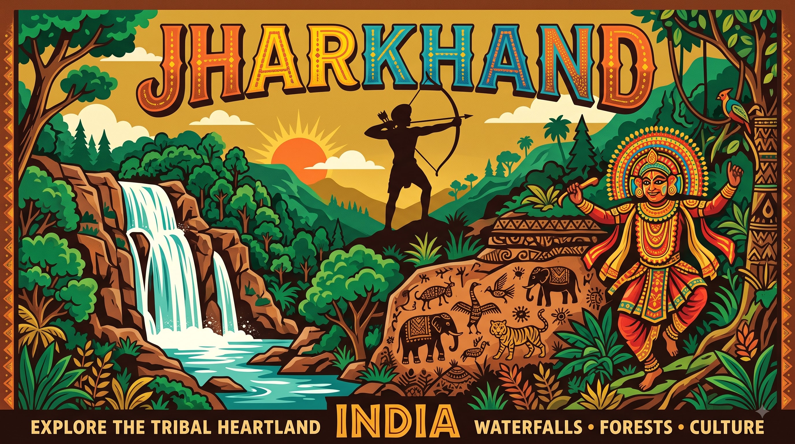
Overview & Heritage
Jharkhand • East India
Jharkhand — the “Land of Forests” — occupies 79,716 km² on the Chota Nagpur Plateau in eastern India. If you remember one contrast, remember this: dense sal forests and waterfalls a short drive from furnaces and coal mines that have powered India for a century. Bordered by Bihar to the north, West Bengal to the east, Odisha to the south and Chhattisgarh and Uttar Pradesh to the west, the state is India’s 15th largest by area and, with a projected population of about 39.4 million in 2025 (Census 2011 counted 32.96 million; projections for 2025–26 range near 39–40.8 million as per the Technical Group and Statisticstimes), it is the 14th most populous. Ranchi, at about 650 metres elevation, is the capital; Jamshedpur (formally Tatanagar) is the largest city and earliest planned industrial city. Dumka serves as sub-capital. Known for its mineral wealth — often cited as holding about 40% of India's known mineral reserves across coal, iron ore, copper, uranium, mica and bauxite — Jharkhand is also among India's most forested states and a core region for Scheduled Tribe communities, making it essential for studying resource geography, tribal history and the balance between extraction and conservation.
“A cornerstone of East India, Jharkhand embodies millennia of vibrant history, distinct geography, and legendary cultural traditions.”
History & Dynasties
Jharkhand's deep past is written in rock and forest rather than in imperial chronicles. Lower Paleolithic tools, rock shelters at Isko and megaliths across the plateau indicate long habitation, with Austro-Asiatic Munda and other Adivasi groups cultivating forest clearings long before Sanskrit texts mentioned the region as part of Pundra or Magadha peripheries. Medieval rule was fragmented among Nagvanshi kings at Chotanagpur, Cheros in Palamu, and later influence from the Mughals and Marathas, but the forested plateau remained on the margins of revenue administration.
British entry changed that. From the late 18th century, the East India Company pressed into Singhbhum and Chotanagpur for revenue and timber, triggering sustained tribal resistance. Tilka Manjhi's rebellion in 1784–85 (Rajmahal hills), the Kol uprising of 1831–32, the Santhal Hul led by brothers Sidhu and Kanhu Murmu in 1855–56 — which mobilised tens of thousands of Santhals against landlords, moneylenders and the Company — and the Birsa Munda-led Ulgulan (1899–1900) are foundational. Birsa (1875–1900), remembered as Dharti Aba (Father of the Earth), combined social reform, religious renewal and political resistance before dying in Ranchi jail.
Post-Independence, the plateau remained part of southern Bihar despite demands for a separate Adivasi state voiced as early as the 1920s through the Jharkhand Party (1950) and Jharkhand Mukti Morcha (1972). Statehood movements argued that Bihar's politics neglected tribal land rights and forest governance. After committee reviews including the 1989 panel and the Jharkhand Area Autonomous Council of 1995, Parliament passed the Bihar Reorganisation Act, 2000. On 15 November 2000 — Birsa Munda's birth anniversary — Jharkhand became India's 28th state with 18 districts, now 24.
Nature & Geography
Jharkhand sits on the eastern edge of the Deccan plateau, comprising the Chota Nagpur Plateau proper and the Santhal Pargana highlands, with average elevations of 300–700 metres, punctuated by isolated hills and scarps. Parasnath Hill (also Sammet Shikhar) in Giridih district at about 1,365 metres — 1,350–1,365 metres across sources — is the state's highest peak and its most sacred hill. Other notable heights include Netarhat (the “Queen of Chotanagpur” at about 1,128 metres), Rajmahal hills, and Dalma range near Jamshedpur.
The plateau is dissected by the Damodar — called the “Sorrow of Bengal” before the Damodar Valley dams — along with the Subarnarekha, Koel, Barakar and Mahananda. Waterfalls tumble where rivers drop off the plateau edge: Hundru Falls (98 metres on the Subarnarekha), Dassam, Johna and Hirni near Ranchi are classic knickpoint falls.
Climate is tropical monsoon: summer highs of 38–44°C, monsoon rainfall of about 1,100–1,400 mm June–September, and cool winters with fog on the plateau. Forest cover is about 29–30% including moderately dense and open forest as per the India State of Forest Report — among the highest for plains states — dominated by sal, mahua, palash and bamboo. Betla National Park (226 km²) within Palamu Tiger Reserve is the state's only national park, notified as a tiger reserve in 1974 among India's first nine under Project Tiger and as a national park in 1986; it adjoins Dalma Sanctuary famous for seasonal elephant migration between Jharkhand and West Bengal.
Culture & Arts
Jharkhand is India's most tribally diverse state, with 32 Scheduled Tribes comprising about 26% of the population as per Census 2011 — including the Santhal (largest group), Munda, Oraon (Kurukh), Ho, Kharia, Bhumij and particularly vulnerable groups like the Asur, Birhor and Sauria Paharia. Each maintains distinct languages — Santali (Ol Chiki script, now an Eighth Schedule language), Mundari, Ho, Kurukh and Kharia among them — though Hindi remains the state's official language for administration and schooling. Sarnaism, the nature-centred faith revering sacred groves (Sarnas), sun, earth and forest spirits, coexists with Hinduism, Christianity and Islam.
Visual culture is strikingly original. Sohrai paintings — harvest murals by women using natural ochres, charcoal and rice paste to depict animals, plants and geometric signs on mud walls — and Khovar (wedding) art in Hazaribagh caves trace to rock-art traditions and are now GI-recognised; Jadupatua scroll painting of the Santhals narrates genealogies and morality tales. Chhau dance, inscribed by UNESCO in 2010 as Intangible Cultural Heritage in its Seraikella style, uses large, stylised masks and martial footwork to enact episodes from the Mahabharata, Ramayana and local folklore, performed at Chaitra Parva in spring with mohuri, shehnai and dhol.
Festivals follow an agrarian calendar: Sarhul (worship of the Sal tree in spring), Karma (brotherhood and tree protection), Sohrai and Mage Parab. Cuisine favours earthy, foraged and protein-rich preparations — dhooska, handia (rice ferment), rugra (mushroom), bamboo shoot curry, pitha, and the leaf-cooked madi — while iron, lac, terracotta, Dokra bronze and woodcraft sustain village livelihoods. Ranchi, Jamshedpur and Bokaro add industrial urban culture with institutions like the National Metallurgical Laboratory and IIT (ISM) Dhanbad.
Fun Facts
Jharkhand is frequently described as holding about 40% of India's mineral reserves and is India's sole producer of cooking coal (coking coal) and uranium at the Jadugora mines of East Singhbhum, along with major iron ore at Noamundi, copper at Ghatshila and mica around Koderma — once called the mica capital of the world.
Jamshedpur, founded in 1907 by industrialist Jamsetji Nusserwanji Tata and planned as India's first industrial steel city, was selected by the chief of the Tata venture after a nationwide survey for iron, coal, water and limestone near the Subarnarekha; it retains wide avenues and a company township model.
Parasnath Hill (1,365 metres) is the most sacred Jain pilgrimage site — Sammed Shikharji — where, per Jain tradition, 20 of the 24 Tirthankaras attained moksha; the hill also hosts Santhal sacred belief as Marang Buru.
Betla National Park in Palamu was among the first nine tiger reserves declared under Project Tiger in 1974 and remains Jharkhand's only national park (226 km²), bordering the Palamu Fort ruins inside the forest.
Chhau dance of Seraikella (Jharkhand) uses elaborate papier-mâché masks — distinct from the unmasked Mayurbhanj style in Odisha — and was inscribed by UNESCO in 2010 as Intangible Cultural Heritage of Humanity.
Hundru Falls on the Subarnarekha River plunges 98 metres at the edge of the Ranchi plateau — one of eastern India's highest single-drop waterfalls and a classic case study for geography on plateau scarp retreat.