
Himachal Pradesh
“Land of snow-capped mountains and apple orchards”
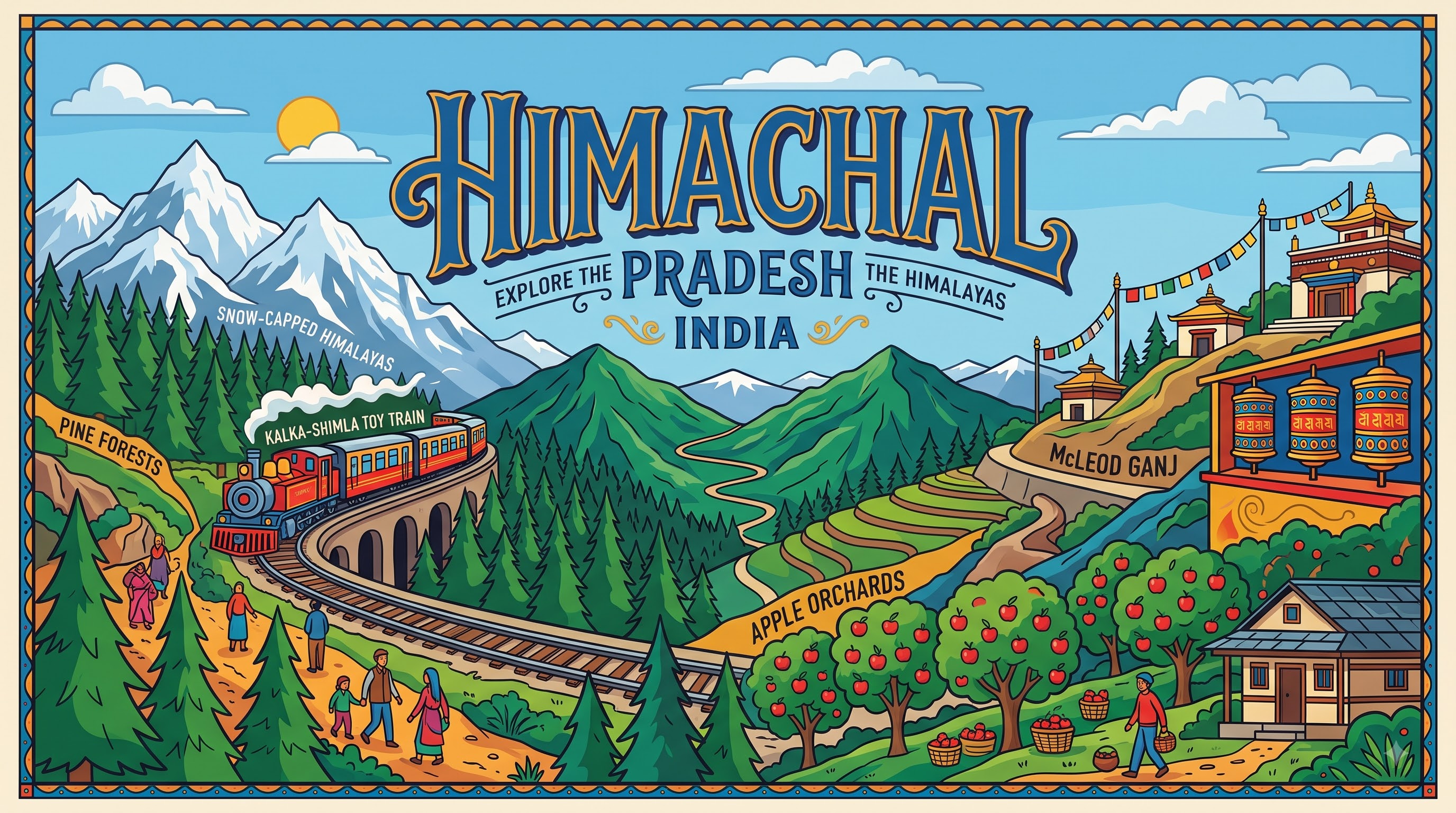
Overview & Heritage
Himachal Pradesh • North India
Himachal Pradesh — the “snow-laden region” — stretches across 55,673 km² of the western Himalayas, from the Shivalik foothills to the Trans-Himalayan cold desert. If you picture one gradient, picture apple orchards at 2,000 metres giving way to deodar and pine, then to rock and permanent snow near 6,000 metres within a single district. Bordered by Jammu and Kashmir and Ladakh to the north, Punjab to the west, Haryana to the southwest, Uttarakhand to the southeast and Tibet to the east, it is mountainous in its entirety. A projected population of about 7.5 million in 2025 (Census 2011 was 6.86 million, projections for 2025–26 range to about 7.7–7.8 million) makes it one of India’s least densely populated states, with only about 10% urbanisation — the lowest among major states. Shimla, at about 2,200 metres, is the summer capital and largest city; since 2017 Dharamshala in Kangra district serves as winter capital and hosts the winter assembly session. Known as Devbhumi (Land of the Gods) for its concentration of ancient temples and monasteries, Himachal is a living classroom for watershed management, hydroelectric power — supplying a significant share of north India's electricity — horticulture, and adaptation to seismic zone IV–V living.
“A cornerstone of North India, Himachal Pradesh embodies millennia of vibrant history, distinct geography, and legendary cultural traditions.”
History & Dynasties
Himalayan valleys have been inhabited since the second millennium BCE, with early tribes — the Audumbaras, Trigartas (around Kangra), Kulutas (Kullu) and Kunindas — issuing silver coins before the Mauryas. The rugged terrain kept large empires at arm's length, so small chiefdoms and princely states (once called the Punjab Hill States, about 30 in number, including Chamba founded in 920 CE, Kangra, Bilaspur, Mandi, Suket and Sirmaur) ruled for centuries, building timber-and-stone temples at Masrur, Chamba and Baijnath.
The British arrived via Gorkha and Sikh wars. After the Anglo-Gorkha War of 1814–16, parts of present Himachal came under British control, and after the Anglo-Sikh wars of the 1840s Kangra passed to the Crown. Shimla, a small hill hamlet, was developed from the 1820s by British officers seeking relief from summer heat; by 1864 it became the summer capital of British India, shifting the entire Government of India uphill each season, complete with the Viceregal Lodge (now Indian Institute of Advanced Study) built in 1888.
After 1947, some 30 princely states were merged into a Chief Commissioner's Province on 15 April 1948. Himachal became a Union Territory on 1 November 1956, absorbed the hilly areas of Punjab — Kangra, Kullu, Lahaul, Spiti, Shimla and parts of Hoshiarpur — in 1966 after the Punjab Reorganisation Act, and finally attained full statehood on 25 January 1971 as India's 18th state under the State of Himachal Pradesh Act, 1970, with Yashwant Singh Parmar as first chief minister — a layered formation students often confuse with a single date.
Nature & Geography
Himachal's geography is a stacked cross-section of the Himalayas over just 150 km from south to north. The outer Shivaliks (350–1,500 metres) around Bilaspur and Una are subtropical and pine-clad; the Lesser or Middle Himalayas (1,500–3,500 metres) including the Dhauladhar and Pir Panjal hold Shimla, Manali, Dalhousie and Dharamshala; the Greater Himalayas and Zanskar range (above 3,500 metres) frame Lahaul, Spiti and Kinnaur as cold desert with less than 200 mm rainfall and winter temperatures to –25°C. The state's highest point is Reo Purgyil at 6,816 metres on the Kinnaur-Tibet border.
Five major rivers shape its valleys and its power: the Sutlej (Himachal's largest), Beas, Ravi, Chenab (called Chandra-Bhaga in Lahaul) and the Yamuna along the eastern edge, all Indus-system tributaries except the Yamuna. These sustain dense mixed forests — about 27.7% forest cover as per the India State of Forest Report — of oak, chir pine, deodar, fir and rhododendron. Climate ranges from humid subtropical in Una to semi-arctic in Spiti, with monsoon concentrated June–September and heavy winter snow November–March.
Protected areas define its conservation identity. Great Himalayan National Park Conservation Area in Kullu, notified as a national park in 1999 and inscribed as a UNESCO World Heritage Site in 2014 for biodiversity conservation and scenic beauty, spans about 905 km² including its eco-zone and shelters snow leopard, Himalayan brown bear, Himalayan tahr, musk deer and the Western Tragopan, Himachal's state bird. Pin Valley National Park in Spiti protects cold desert fauna, while Khirganga and Sainj are key wildlife sanctuaries. Orchard belts around Kotgarh and Thanedhar produce apples, cherries and off-season vegetables that sustain the rural economy.
Culture & Arts
Culture in Himachal is mountain-adapted and deeply syncretic, blending Hindu temple traditions with Tibetan Buddhism in the north. Hindi is the official language, with Sanskrit declared the second official language through the Himachal Pradesh Official Language (Amendment) Act, 2019 — largely symbolic and educational rather than administrative — while daily speech runs on Western Pahari dialects: Kangri, Mandeali, Kullui, Chambeali and Kinnauri, each tied to a valley. Wood-and-stone Kath-Kuni architecture — interlocked deodar beams and dry-stone masonry without mortar, as seen in temples and homesteads in Shimla, Kullu and Kinnaur — is both seismic-resilient and distinctively aesthetic, and the colourful Himachali cap with its maroon or green band remains an everyday marker of identity.
Festivals are community gatherings more than spectacles. Kullu Dussehra, extended over a week in October when village deities carried in palanquins converge on Dhalpur Maidan, is nationally noted; Mandi Shivaratri brings over 200 deities to Mandi town; Losar marks the Tibetan New Year in Lahaul-Spiti. Nati, recognised by Guinness as record-holding for largest folk dance participation, is danced in lines to the dhol and shehnai at fairs and weddings. Dharamshala–McLeod Ganj has been the residence of His Holiness the 14th Dalai Lama and headquarters of the Central Tibetan Administration since 1960, making it a global centre for Tibetan Buddhism, thangka painting and butter sculpture. Local crafts include Chamba rumal embroidery, Kinnauri shawls, Kangra miniature painting and woodcraft from Chamba, each carrying GI recognition or state patronage.
Fun Facts
The Kalka–Shimla Railway, an 1898–1903 narrow-gauge engineering feat climbing from 656 metres at Kalka to 2,075 metres at Shimla, runs 96 km through 102 tunnels (originally 103, one later daylighted) and over 864 bridges and was inscribed as a Mountain Railway of India UNESCO World Heritage Site in 2008.
The Great Himalayan National Park Conservation Area at about 905 km² was inscribed by UNESCO in 2014 and shelters self-sustaining populations of the threatened Western Tragopan and Himalayan musk deer — among the densest remaining musk deer populations west of Nepal.
Hikkim post office in Spiti Valley, at about 4,440 metres, is often cited as one of the world's highest functioning post offices, operating for much of the year despite heavy snow and connecting villages that remain cut off for months.
Himachal is called the “Apple State of India” — commercial apple cultivation began near Kotgarh in 1916–20 when American missionary Samuel Evans Stokes introduced improved varieties.
Shimla served as the summer capital of British India from 1864 to 1947 and retained its role as Punjab's capital after Independence until Chandigarh was built, which is why its Viceregal Lodge and Gaiety Theatre mirror English hill-town architecture at 2,200 metres.
Reo Purgyil at 6,816 metres on the Kinnaur–Tibet border is the state's highest peak, while Kangra's Bir-Billing is routinely ranked among the world's best paragliding take-off sites for the 2015 Paragliding World Cup and annual flying seasons.