
Dadra & Nagar Haveli and Daman & Diu
“Coastal enclave with rich Portuguese heritage”
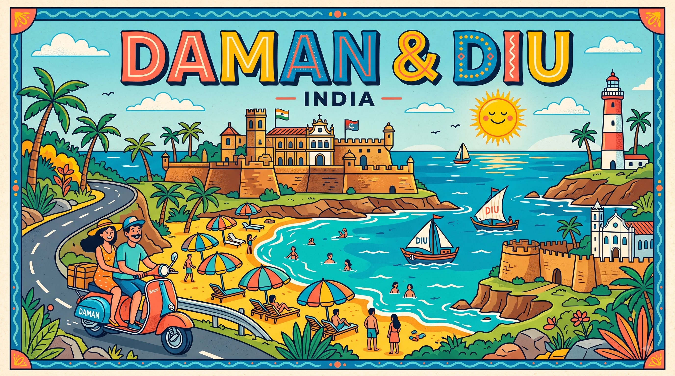
Overview & Heritage
Dadra & Nagar Haveli and Daman & Diu • Union Territory India
Dadra and Nagar Haveli and Daman and Diu is India's youngest Union Territory, created on 26 January 2020 by merging two former Union Territories — Dadra and Nagar Haveli and Daman and Diu — to streamline administration and reduce costs. Covering 603 km² with a projected population of about 615,000 in 2025, it is not a contiguous landmass but four distinct enclaves along India's western coast: Dadra, a small enclave within Gujarat; Nagar Haveli, a C-shaped enclave wedged between Gujarat and Maharashtra; Daman, a coastal enclave at the mouth of the Daman Ganga River on the Gulf of Khambhat; and Diu, an island off the southern coast of Gujarat's Kathiawar peninsula. Its capital is Daman, while Silvassa in Nagar Haveli remains its largest town and administrative centre for the forested interior.
“A cornerstone of Union Territory India, Dadra & Nagar Haveli and Daman & Diu embodies millennia of vibrant history, distinct geography, and legendary cultural traditions.”
If you remember one contrast, hold onto this: lush, forested Dadra and Nagar Haveli inland, versus windswept, fort-flanked beaches at Daman and Diu facing the Arabian Sea. The territory ranks 33rd by area nationally and has a population density of about 970 persons per km². Officially Hindi and Gujarati are listed as official languages historically, with English also used administratively, while tribal languages like Varli and Dhodia are widely spoken in the interior. For students, the territory is a compact lesson in colonial enclaves, enclave geography, and post-2019 administrative consolidation — the only Indian Union Territory formed by a parliamentary merger act.
History & Dynasties
All four enclaves share a Portuguese colonial past lasting over four centuries, longer than British rule over most of India. The Portuguese reached the Gujarat coast in the early 16th century. Diu was contested early and formally acquired by treaty in 1539 after the Gujarat Sultan conceded the island; Diu Fort, begun in 1535, anchored Portuguese control of Arabian Sea trade. Daman was occupied in 1559 after campaigns by Governor Constantino de Bragança. Inland, villages around Nagar Haveli were ceded by the Marathas in 1779 as compensation for a Portuguese ship lost to attack, formalising control in 1783.
Unlike Goa, which was freed by military action in 1961, Dadra and Nagar Haveli was liberated by volunteers. In July–August 1954, activists from the United Front of Goans and Azad Gomantak Dal entered and established a de facto Free Dadra and Nagar Haveli administration run by Varishta Panchayat. Portugal continued to claim the territory, and the International Court of Justice in 1960 upheld its right of passage. Formal annexation occurred on 11 August 1961, with Portugal recognising sovereignty only after the 1974 Carnation Revolution.
Daman and Diu were liberated as part of Operation Vijay on 19 December 1961, ending 451 years of Portuguese rule. From 1961 to 1987 they were part of the UT of Goa, Daman and Diu; when Goa became a state on 30 May 1987, Daman and Diu became a separate UT. Dadra and Nagar Haveli was a separate UT from 1961 to 2019. To reduce duplication the government proposed a merger in July 2019, Parliament passed the Merger Act on 9 December 2019, and the unified territory took effect on 26 January 2020.
Nature & Geography
The territory's geography divides neatly into coastal and inland landscapes separated by more than 200 km. Daman sits on the flat alluvial coast at the Daman Ganga estuary, with an elevation near sea level and beaches like Devka, Jampore and Jallandhar fringed by casuarina rather than high dunes, subject to tidal mudflats and a tropical savanna climate with about 1,600–2,000 mm monsoon rainfall. Diu is a 40 km² island connected to the mainland by a causeway and bridge, with limestone cliffs, caves and beaches such as Nagoa, noted for its horseshoe shape, and Ghogla, while the interior is arid and windswept. Diu's highest point is only about 30 metres. Naida Caves near Diu, a former quarry, feature a network of sun-lit limestone chambers that have become a protected tourist site.
Dadra and Nagar Haveli lies about 10 km inland, covering 491 km² of the 603 km² total. It is forested and undulating between 8 and 425 metres, forming part of the Western Ghats foothills and the Daman Ganga catchment, dammed at Madhuban to create a reservoir. Annual rainfall exceeds 2,500 mm, supporting teak and bamboo forests with 43 villages and a largely tribal population. The Dadra and Nagar Haveli Wildlife Sanctuary (91 km²) protects leopards and four-horned antelope, while Diu's Fudam Bird Sanctuary shelters migratory waders.
Coastal waters support fishing communities and intertidal ecology, but the territories have no perennial Himalayan rivers; water security depends on monsoon rivers and reservoirs. Climate across all four enclaves is coastal tropical: hot summers 35–40°C, mild winters 15–25°C and very humid monsoons.
Culture & Arts
Culture blends Portuguese legacy, Gujarati-Marathi coastal traditions and Varli-Dhodia tribal heritage inland. In Daman, Moti Daman and Nani Daman — two quarters divided by the Daman Ganga — preserve 16th-century forts and churches such as Bom Jesus Church (1603) and the Church of Our Lady of Sea. Diu's landmarks are more dramatic: Diu Fort, built 1535–1546 with three sides facing the Arabian Sea, a moat and lighthouse, and St. Paul's Church (1601–1610), considered among India's finest baroque churches.
Inland, Silvassa reflects a different rhythm: villages celebrate Tarpa dance, Bohada processions and Gram Devi festivals, while Gujarati influences appear in seasonal mango fairs. Everyday language is Gujarati and Hindi along the coast and Varli dialects inland, with English in administration. The Gujarati thali is staple, while seafood in Daman and Diu incorporates coconut, vinegar and Portuguese baking; cashew brews are found inland as in Goa.
Religious composition is predominantly Hindu (about 91–92% combined as per Census 2011‑derived estimates for the pre-merger territories), with Christian communities near churches and Muslim traders along ports. Major public festivals include Diwali, Holi, Christmas celebrated in the old churches, and the Nariyal Purnima boat-launching rites of Koli fisherfolk. The territory's handicrafts include ivory-inlay work, cane furniture and Warli painting styles shared with adjacent Maharashtra.
Fun Facts
Dadra and Nagar Haveli and Daman and Diu was created on 26 January 2020 (Republic Day) via the Dadra and Nagar Haveli and Daman and Diu (Merger of Union Territories) Act, 2019, reducing India's Union Territories from eight to seven at the time.
Diu Fort, built by the Portuguese from 1535 and reinforced by 1546, is a sea fort surrounded by the Arabian Sea on three sides, with a deep moat, 21 bastions and a functioning lighthouse that offers views to the Gujarat mainland.
Nagoa Beach in Diu is known for planted Hoka palms (Hyphaene shaped; locally linked to Hyphaene indica/branched palms), a rare palm species native to parts of Africa that Portuguese traders are traditionally said to have introduced.
Dadra and Nagar Haveli operated as a de facto independent entity — Free Dadra and Nagar Haveli administered by Varishta Panchayat — from 2 August 1954 until formal integration into India on 11 August 1961, separate from the 1961 military liberation of Goa, Daman and Diu.
The territory contains four geographically separate enclaves but only three districts after the merger: Dadra and Nagar Haveli (491 km²), Daman (72 km²) and Diu (40 km²), with a single Administrator appointed by the President of India.
Dadra and Nagar Haveli Wildlife Sanctuary covers about 91 km² of the Western Ghats foothills and is contiguous with eco-sensitive zones linking Maharashtra and Gujarat, while Diu's Fudam Bird Sanctuary is one of the smallest bird sanctuaries in India.