Andhra Pradesh
“The rice bowl of India”
Overview & Heritage
Andhra Pradesh • South India
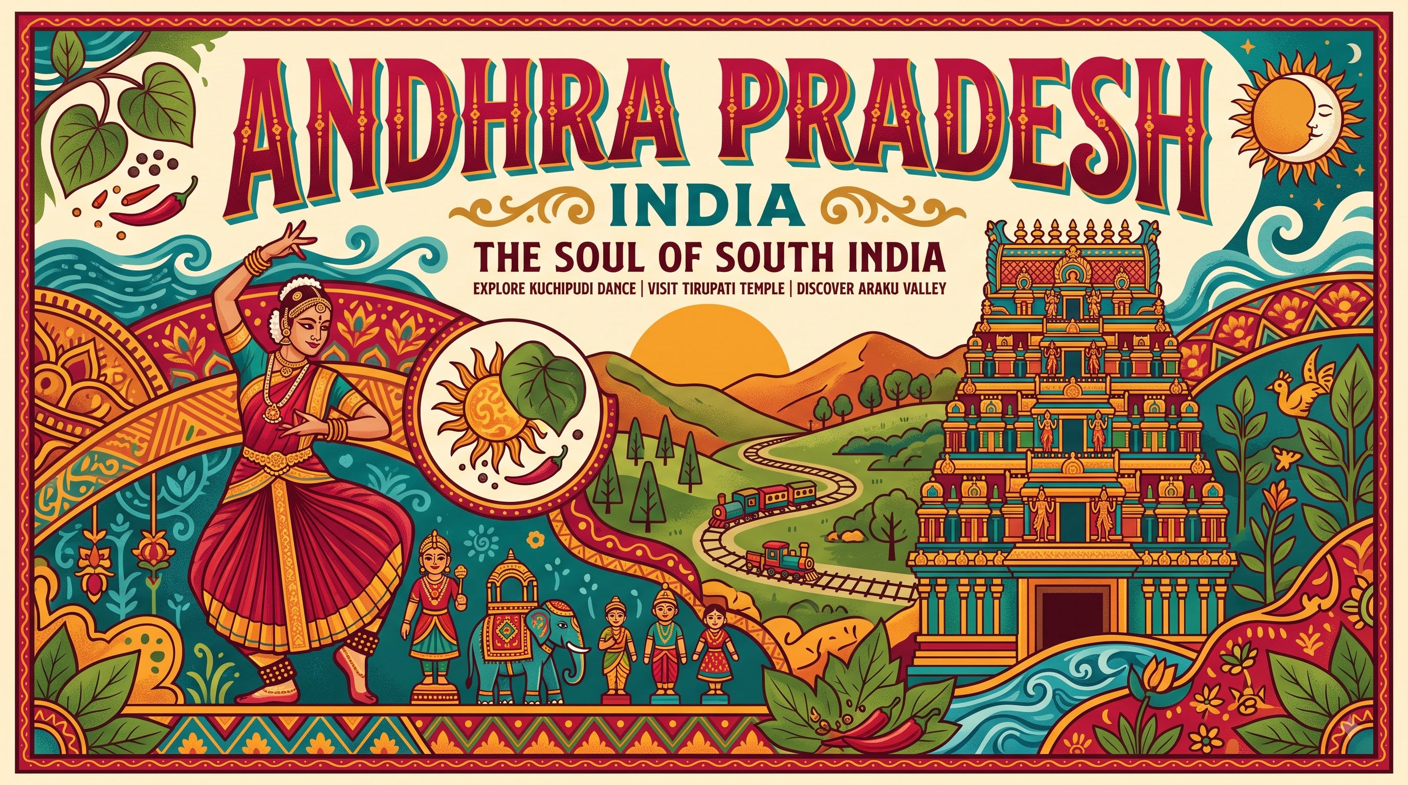
Andhra Pradesh stretches along India's southeastern coast for 974 km, the second-longest coastline on the mainland after Gujarat, where the Eastern Ghats tumble down to the Bay of Bengal. If you picture one state that holds both ancient Buddhist stupas and a modern rocket launchpad, this is it. Bordered by Telangana to the north, Tamil Nadu to the south, Karnataka to the west and Odisha and Chhattisgarh to the northeast, it covers 162,975 km² and is home to a projected 53.1 million people (2025 projection). Often called the 'Rice Bowl of India' for its fertile Krishna and Godavari deltas, Andhra Pradesh is known for fiery Guntur chillies, the sacred hills of Tirumala, and Kuchipudi dance. Amaravati is its legislative capital, while Visakhapatnam on the coast is the largest city and industrial hub, and Vijayawada–Guntur forms the central urban core. For a student of geography, economics or culture, Andhra Pradesh matters because it links the Deccan interior to maritime trade routes and balances agriculture, industry and space technology in one state.
“A cornerstone of South India, Andhra Pradesh embodies millennia of vibrant history, distinct geography, and legendary cultural traditions.”
History & Dynasties
Andhra Pradesh's recorded past spans over two millennia, making it a staple in Indian history syllabi. The Satavahanas (2nd century BCE to 2nd century CE), with capitals at Amaravati and later Paithan, are central — they patronized Buddhism, built the great Amaravati stupa and sustained trade with Rome, evidenced by Roman coins found along the Krishna valley. After them came the Ikshvakus at Nagarjunakonda, an early Buddhist university town, followed by the Eastern Chalukyas of Vengi, the Kakatiyas whose influence extended into coastal Andhra, and the Vijayanagara Empire under Krishnadevaraya in the 16th century, when coastal ports flourished. The Qutb Shahis of Golconda ruled the region before Mughal and later British control as part of Madras Presidency. Modern political history is distinctive: in 1952, Gandhian Potti Sriramulu fasted to death demanding a Telugu-speaking state, and on 1 October 1953 Andhra State was carved from Madras, India's first state formed on a linguistic basis. On 1 November 1956 it merged with the Telugu areas of Hyderabad State to form united Andhra Pradesh under the States Reorganisation Act. After decades of the Telangana movement, Parliament passed the Andhra Pradesh Reorganisation Act in February 2014, and on 2 June 2014 Telangana was bifurcated, leaving residual Andhra Pradesh with 13 districts. Amaravati, near the ancient Satavahana capital Dharanikota, was chosen as the new capital, with Hyderabad as common capital for up to ten years.
Nature & Geography
Geography in Andhra Pradesh is a sharp east-west contrast. The Eastern Ghats run like a broken spine through the state, rising to Arma Konda at 1,680 metres in the north, while to the east lie broad coastal plains and two of India's great delta systems — the Godavari, India's second-longest river, and the Krishna, both draining into the Bay of Bengal alongside the Penna. These deltas create the rice-growing Konaseema and Krishna wetlands that justify the 'Rice Bowl' tag. Inland, the Nallamala and Seshachalam forests form the southern tip of the Eastern Ghats, and the Rayalaseema plateau in the southwest is drier, rockier and hotter. Climate is tropical, with intense summers above 40°C, monsoon rain from June to September, and humid coastal winters. Distinctive landscapes include Araku Valley in the north, a coffee-growing highland at 600–900 metres famous for its tunnels and tribal hamlets, and the Borra Caves nearby, limestone karst caves with stalactites and stalagmites formed over millions of years. Wetlands matter here: Kolleru Lake between Krishna and Godavari is one of India's largest freshwater lakes and a Ramsar-linked bird haven for pelicans and painted storks, while Pulicat Lake on the Tamil Nadu border is India's second-largest brackish lagoon. Protected areas include Papikonda National Park along the Godavari gorge, Sri Venkateswara National Park in the Seshachalam Biosphere Reserve, and Coringa Wildlife Sanctuary near Kakinada, which shelters India's second-largest mangrove forest after the Sundarbans.
Culture & Arts
Culture in Andhra Pradesh feels both classical and fiery. Telugu, the official language and one of India's six Classical languages, is spoken by the vast majority, and the state is the birthplace of Kuchipudi, one of India's eight officially recognized classical dance forms that began in the village of Kuchipudi in Krishna district as a male Brahmin dance-drama tradition before opening to all. Handcraft traditions carry GI tags: Kalamkari hand-painted cotton from Srikalahasti and Machilipatnam, where artists use natural dyes and tamarind pens; Kondapalli softwood toys from Vijayawada; and Etikoppaka lacquered woodcraft. Festivals follow the agrarian and temple calendar — Sankranti in January is the major harvest festival, while Ugadi marks the Telugu New Year with pachadi that mixes six tastes. The spiritual centre is Tirumala: the Sri Venkateswara Temple above Tirupati draws more than 50,000 pilgrims daily and is among the world's wealthiest and most visited religious shrines. Nearby, the 16th-century Veerabhadra Temple at Lepakshi displays hanging pillars and a colossal Nandi, and the Gandikota gorge is often called the Grand Canyon of India. Cuisine is known for heat and tang: Guntur chilli, Gongura (sorrel leaf) pachadi, spicy Avakaya mango pickle, Pulusu stews, Pesarattu green-gram dosa, and Rayalaseema's Ragi Sangati (finger millet balls) with spicy curries show how chilli, tamarind and sesame define the plate.
Fun Facts
Tirumala's Sri Venkateswara Temple in Tirupati district receives on average 50,000–70,000 pilgrims a day, with annual hundi offerings exceeding ₹1,000 crore, making it one of the world's most visited and wealthiest temples.
Andhra Pradesh has a 974 km coastline, the second longest among Indian states after Gujarat, stretching from Icchapuram in the north to Pulicat Lake in the south.
Sriharikota island in Tirupati district houses the Satish Dhawan Space Centre, India's only orbital launch site; every ISRO Polar and Geosynchronous launch, including Chandrayaan and Mars Orbiter missions, lifts off from here.
Kuchipudi classical dance originated in the early 17th century in the village of Kuchipudi (then Kuchelapuram) in present-day Krishna district, founded by Siddhendra Yogi — a fact often asked in competitive exams.
The Belum Caves in Nandyal district form India's second-longest natural cave system at 3,229 metres of explored passages, featuring long stalactite and stalagmite galleries and a natural Shiva lingam formation.
Araku Valley grows India's first tribal GI-tagged coffee — Araku Valley Arabica — cultivated at about 900 metres by Adivasi farmers in Alluri Sitharama Raju district and now sold across Europe.