Andaman and Nicobar Islands
“Emerald islands in the Bay of Bengal”
Overview & Heritage
Andaman and Nicobar Islands • Union Territory India
The Andaman and Nicobar Islands form an oceanic archipelago of 572 recognised islands — recent official counts list 836 including islets and rocks — stretching 700 km north to south at the junction of the Bay of Bengal and the Andaman Sea. Covering 8,249 km² with a projected population of about 400,000 in 2025, the Union Territory is one of India's most sparsely populated regions, yet strategically significant. Its capital, Port Blair — officially renamed Sri Vijaya Puram in September 2024, though Port Blair remains widely used — sits on South Andaman Island, roughly 1,190 km from Chennai and 1,255 km from Kolkata. If you remember one image, hold onto this: dense evergreen rainforests meeting white-sand beaches and fringing coral reefs, where indigenous communities have lived in isolation for tens of thousands of years beside descendants of mainland settlers.
“A cornerstone of Union Territory India, Andaman and Nicobar Islands embodies millennia of vibrant history, distinct geography, and legendary cultural traditions.”
Administratively the territory became a Union Territory on 1 November 1956, divided today into three districts — South Andaman, North and Middle Andaman, and Nicobar. Bengali, Tamil, Telugu, Hindi and Nicobarese communities live alongside six Particularly Vulnerable Tribal Groups. The islands serve as India's eastern maritime frontier, sharing sea borders with Myanmar, Indonesia and Thailand, and host the Andaman and Nicobar Command, the country's only joint tri-service command. For students of ecology, anthropology and strategic geography, the islands offer a living case study in biodiversity, indigenous heritage, and island governance.
History & Dynasties
Genetic and archaeological evidence suggests the Andamanese peoples have inhabited these islands for over 30,000 years, among the oldest continuous populations in Asia. Early Chola inscriptions from the 11th century refer to the islands as Timaittivu and describe them as a naval base for expeditions to Southeast Asia. Arab traders later called them Lankhabatus, and Marco Polo in the 13th century recorded them as Angamanian. The name Andaman is often linked to Hanuman, the monkey god of the Ramayana.
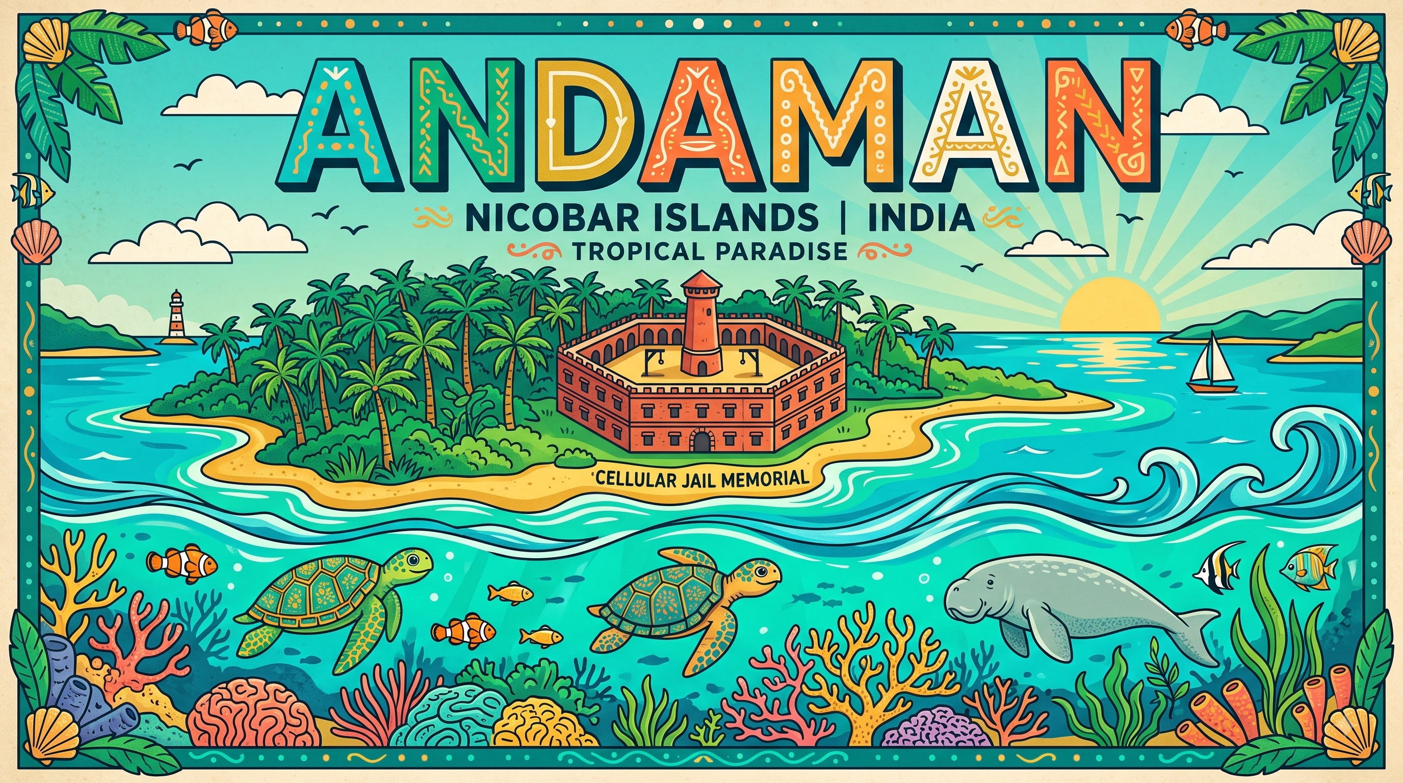
European contact began in the 18th century. The Danish briefly claimed the Nicobars in 1755, but withdrew. The British established a penal settlement at Port Blair in 1789, abandoned it, and re-established it after the Revolt of 1857 to house political prisoners and hardened convicts. The Cellular Jail, completed in 1906 and called Kala Pani, held thousands of freedom fighters including Veer Savarkar, Batukeshwar Dutt and members of the Alipore Bomb case, under solitary confinement in 693 cells. During World War II, the islands were the only Indian territory occupied by Japan, from March 1942 to October 1945. Netaji Subhas Chandra Bose visited in December 1943 and hoisted the Indian National Army flag at Port Blair.
After Independence, the islands became part of the Dominion of India in 1947 and a Union Territory under the Constitution in 1956. The 2004 Indian Ocean tsunami devastated the Nicobars, submerging parts of Indira Point — India's southernmost point at 6°45'N — and causing major loss of life. Since then, strict protection of tribal reserves and biosphere reserves has shaped development policy.
Nature & Geography
Geographically the territory is split by the Ten Degree Channel — a 150 km wide sea passage — separating the northern Andaman group from the southern Nicobar group. The Andamans comprise North, Middle, South Andaman and Little Andaman; the Nicobars include Car Nicobar, Great Nicobar and smaller islands. Saddle Peak on North Andaman, at 732 metres, is the highest point, while low coral atolls and mangrove creeks dominate much of the coastline. Over 86% of the land area remains under forest cover, according to the India State of Forest Report, one of the highest proportions in the country, dominated by Andaman padauk, Gurjan and tropical evergreen species.
Climate is equatorial maritime: warm and humid year-round with temperatures around 23–31°C, heavy monsoon rainfall from May to December exceeding 3,000 mm in parts of Nicobar, and frequent cyclones. Marine biodiversity is exceptional. Fringing reefs support more than 500 coral species, dugongs — the state animal — green and leatherback sea turtles, manta rays, and the endangered Andaman wood pigeon. Terrestrial fauna includes the Andaman wild pig, crab-eating macaque, saltwater crocodiles in mangrove creeks, and giant coconut crabs on South Sentinel.
South Asia's only active volcano rises at Barren Island, about 138 km northeast of Port Blair, which last showed eruptive activity in 2022 (flag: small-scale eruptions are frequent and exact latest event dates vary by report). Other protected areas include Mahatma Gandhi Marine National Park, Rani Jhansi Marine National Park, Mount Harriet National Park around Mount Manipur, and Galathea on Great Nicobar, a nesting site for leatherback turtles. Sustainable tourism is concentrated on designated islands like Swaraj Dweep (Havelock), Shaheed Dweep (Neil) and Netaji Subhas Bose Island (Ross).
Culture & Arts
The cultural story of the islands rests on two distinct strands that rarely intersect by design. The indigenous strand includes six Scheduled Tribes: the Great Andamanese, Onge, Jarawa and Sentinelese of the Andamans, and the Nicobarese and Shompen of the Nicobars, speaking Andamanese and Nicobarese language families that are linguistically unrelated to mainland languages. The Sentinelese on North Sentinel Island remain an uncontacted people, protected by law that forbids any approach within five nautical miles.
The second strand is the settler society that developed after the penal settlement and especially after 1947, drawing families from West Bengal, Tamil Nadu, Andhra Pradesh, Chhattisgarh and Kerala. Bengali is the most widely spoken language at home, followed by Tamil and Telugu, while Hindi and English remain official administrative languages. Devanagari and Latin scripts are both recognised.
Cuisine reflects coastal life: fresh seafood curries with coconut, grilled fish, Amritsari influences among Punjabi settlers, and tropical fruits. Padauk wood craft, shell jewellery and cane work are traditional skills, though commercial collection of coral and shells is now banned. Religion is predominantly Hindu, with significant Christian communities among Nicobarese islanders and Muslim communities in Port Blair. The annual Island Tourism Festival in January, block mela celebrations and the light-and-sound show at Cellular Jail serve as major public commemorations rather than religious festivals, and the jail complex is maintained as a National Memorial.
Fun Facts
Barren Island, about 138 km northeast of Port Blair, is South Asia's only active volcano and the northernmost active volcano in the Indian Ocean volcanic arc; it has erupted intermittently since 1787, with documented recent activity in 2022.
North Sentinel Island is home to the Sentinelese, one of the last uncontacted peoples on Earth; the Indian government prohibits travel within 5 nautical miles and all contact to protect both the tribe and visitors.
The state animal is the dugong (Dugong dugon), a gentle marine mammal also called sea cow; the islands' waters and seagrass meadows form one of its last viable habitats in India.
The Cellular Jail in Port Blair, built from 1896 to 1906 with 693 individual cells, was designed for solitary confinement; inmates could not see or communicate with each other despite being in the same complex.
Radhanagar Beach on Swaraj Dweep (Havelock Island) was ranked Best Beach in Asia by TIME Magazine in 2004 and consistently appears in international best-beach lists for its white sand and turquoise waters (flag: rankings vary by year and publication).
Indira Point on Great Nicobar at 6°45'10"N is India's southernmost point; its lighthouse was submerged by about 4 metres after the 2004 tsunami and later rebuilt further inland.