
Mizoram
“Land of rolling hills, bamboo forests, and warm hospitality”
Overview & Heritage
Mizoram • Northeast India
Mizoram — 'Land of the Mizos' — occupies 21,081 km² on the southern tip of Northeast India, where 21 long north-south ridge ranges roll like waves. If you remember one image, picture this: a hilltop town perched on a narrow ridge with steep valleys dropping on both sides, and bamboo forests flowering on the slopes after decades of silence. Bordered by Assam, Manipur and Tripura to the north, Myanmar for 404 km to the east and south, and Bangladesh for 318 km to the west, Mizoram is the most landlocked of the northeastern states yet also the most urbanised in the region, with over half its projected 1.2 million people (2025) living in towns. Aizawl, the capital on a ridge at about 900 to 1,135 metres, holds more than a third of the state's population and faces the Durtlang hills. Mizoram became a Union Territory on 21 January 1972 after being the Lushai Hills District of Assam and achieved full statehood on 20 February 1987 as India's 23rd state following the historic Mizoram Peace Accord of 1986. Forests cover about 84 to 85% of the land, sanctuary to hoolock gibbons and the clouded leopard, while the ethical code of Tlawmngaihna — selfless service without expectation — binds communities.
“A cornerstone of Northeast India, Mizoram embodies millennia of vibrant history, distinct geography, and legendary cultural traditions.”
History & Dynasties
Mizo oral traditions trace migration from the Chin Hills of present-day Myanmar between the 16th and 18th centuries, with waves of Hmar, Lushai, Lai, Mara and other clans moving northward along river valleys. By the 18th century chieftainships dominated the Lushai Hills, known to the British as Loi. British annexation followed two expeditions in 1890, after which the hills were administered as part of Assam. Christian missionaries arrived in 1894, introduced the Roman script for the Mizo language, and with high schooling rates laid the groundwork for Mizoram's later literacy — now 98.2% as per 2024 estimates, the highest in India. After Independence, neglect during the 1959 Mautam famine — a periodic ecological disaster when melocanna baccifera bamboo forests flower gregariously every 48 to 50 years, seeding a rodent boom and crop failure — triggered political alienation. The Mizo National Front under Laldenga declared insurgency in 1966, leading to two decades of conflict and even the only time the Indian Air Force carried out airstrikes within India, at Aizawl in March 1966. Peace returned through intensive negotiations between Prime Minister Rajiv Gandhi and Laldenga. The Mizoram Peace Accord signed on 30 June 1986 ended hostilities; MNF leaders agreed to lay down arms and join democratic politics. Through the 53rd Constitutional Amendment, Mizoram was granted statehood on 20 February 1987, with Laldenga as its first Chief Minister, and has since remained one of India's most peaceful states.
Nature & Geography
Mizoram's geography is defined by parallel north-south ranges, with an average elevation of 900 metres. The terrain is immature and geologically young, composed of soft sedimentary rock that erodes into steep slopes, narrow valleys, and river gorges. Phawngpui (Blue Mountain) in the southeast, at 2,157 metres, is the highest peak, revered in folklore as the abode of gods and spirits. Its upper grasslands burst into rhododendron blooms in spring, while the lower slopes hold montane evergreen forest. The longest river, the Tlawng (Dhaleswari), runs about 185 km northward; other major rivers — Tut, Tuirial and Kolodyne (Chhimtuipui) — drain either north to the Barak or south to the Kaladan in Myanmar. Bamboo dominates ecology and economy: melocanna baccifera alone covers an estimated one-third of the state, alongside teak, rosewood and countless orchids. Satellite forest data show about 84.5% forest cover, the fourth-highest in India. Wildlife includes the western hoolock gibbon, serow (state animal, saza), Hume's pheasant (Vavu, state bird), and the elusive clouded leopard. Protected areas include Murlen and Phawngpui (Blue Mountain) National Parks, Dampa Tiger Reserve on the Bangladesh border, and Palak Lake, the largest natural lake in the state at about 1 km². Climate is humid subtropical monsoon: winters 11-21°C, summers 20-30°C, and rainfall averages about 2,500 mm from May to September, though north-south variation is strong.
Culture & Arts
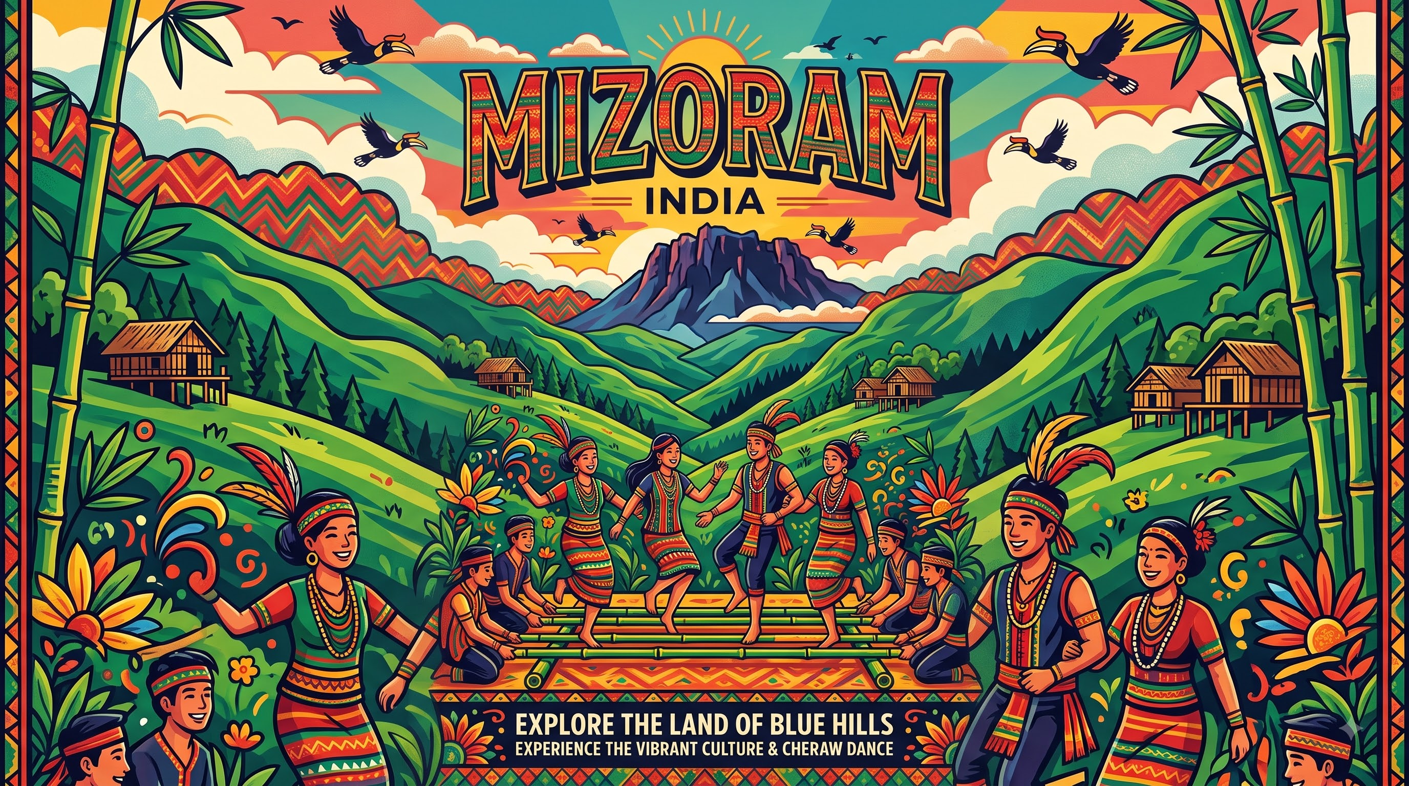
Mizo society is notably egalitarian — former chieftainship hierarchies have given way to community councils, and the Presbyterian and Baptist churches play central social roles. The moral compass is Tlawmngaihna, an untranslatable ethic meaning to place others before oneself, to be hospitable without expectation, brave, and persevering for community good. Young men and women are expected to embody it in everyday life, from helping a neighbour rebuild a house to volunteering during crises. This is visible in the village institution of Zawlbuk (traditional bachelors' dormitory, now revived culturally) and in modern disaster response, where Mizos voluntarily enforce social discipline without policing. Performing arts are lively: Cheraw, the iconic bamboo dance where men clap horizontal bamboo staves while women step rhythmically between them, requires precision and is performed at almost every major celebration; Chheih Lam, Khai Lam and Sarlamkai celebrate war, love and harvest. Chapchar Kut, the bamboo-cutting spring festival in March, is the largest state-wide celebration, with colourful dress, choral singing and fashion shows. Language unifies the diversity: Mizo (Duhlian dialect) written in Roman script is understood across subgroups, with English as co-official; Hmar, Mara, Lai, Paite and Chakma are also spoken. Cuisine is simple and smoked — bai (steamed greens with pork and bamboo shoot), sawhchiar and zu tea — reflecting a forest-adjacent lifestyle. Handloom puan textiles with geometric weaves are everyday and ceremonial wear.
Fun Facts
Mizoram has about 84.5% forest cover, among the highest proportions of any Indian state, and is one of only two states where bamboo flowering triggers the 48-year Mautam famine cycle.
Cheraw (bamboo dance) uses six to eight men to rhythmically clap 3-metre bamboo poles while dancers in traditional puan weave intricate footwork; timing errors can trap a foot, making practice essential.
At 2,157 metres, Phawngpui (Blue Mountain) is often covered in blue haze from afar, giving it its name; its summit grasslands hold orchids and rare birds such as the Peregrine falcon.
The Mautam bamboo famine occurs when Melocanna baccifera flowers gregariously — last major flowering in 2006-08 — producing seeds that cause rodent populations to explode and then crash after crops are destroyed.
Mizoram ranks first in literacy among Indian states as of 2024 reports (about 98.2%), with the Roman script for Mizo adopted in the 1890s by Christian missionaries credited for early spread of reading.
Dampa Tiger Reserve (about 988 km²) on the western hills bordering Bangladesh is designated a Tiger Reserve and is notable for clouded leopards and a high diversity of bats, despite low tourist footfall.